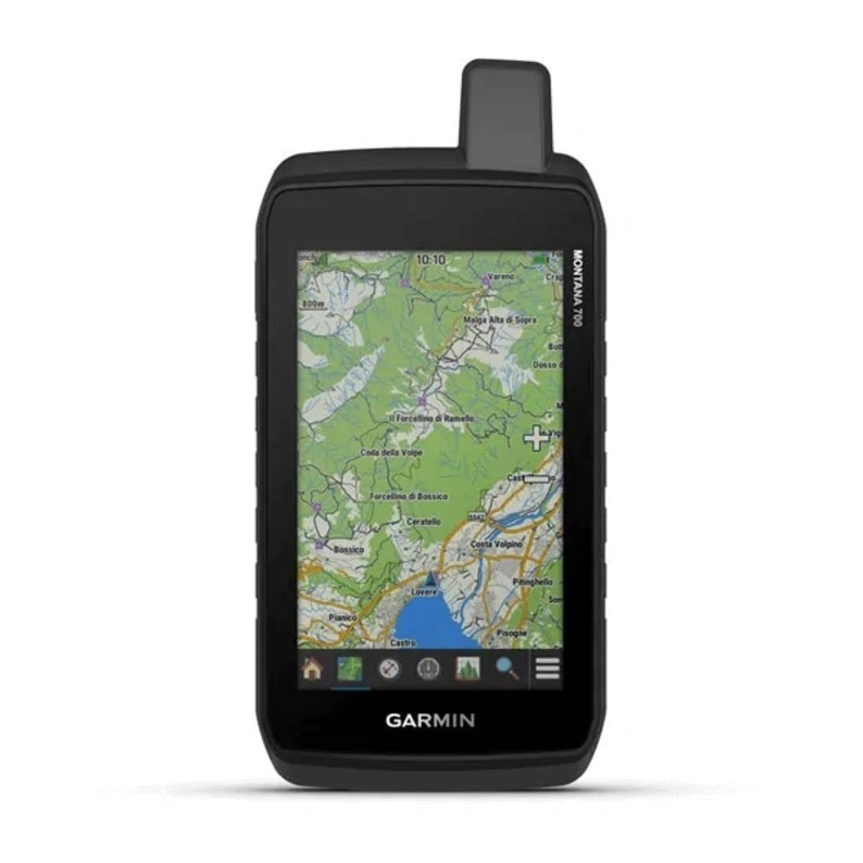


Garmin Montana® 700
- Dimensions (cm): 8.76 x 18.30 x 3.27
- Screen size (cm): 6.48 x 10.80
- Screen density (pixels): 480 x 800
- Battery type: rechargeable, lithium-ion
PRODUCT INFORMATION
- Dimensions (cm) 8.76 x 18.30 x 3.27
- Screen size (cm) 6.48 x 10.80
- Screen density (pixels) 480 x 800
- Battery type rechargeable, lithium-ion
- Water resistance IPX7
Enjoy your journey with the Montana 700 portable navigator. Be accessible all over the world thanks to the inReach satellite connection, send an alarm, and they will help you.The QWERTY keyboard makes it easy to type text messages. Expand your video horizon by staying connected 24/7. TopoActive map of Europe for easy navigation both on and off the roads.In accordance with the MIL-STD 810 standard, it is waterproof and resistant to temperature fluctuations., bumps and concussions.Download high-quality satellite images using Birdseye Satellite Imagery.The lithium-ion drive allows you to use the device in GPS mode for more than 18 hours.Exchange messages with your loved ones, post on social networks, or chat with someone who has another inReach device with an inReach device.In case of an accident, use the SOS message function and contact GOS, a professional round-the-clock monitoring and rapid response center.Instead of relying on a phone, use the Iridium® global network to exchange messages and SOS signals.The inReach weather forecast service provides detailed information by sending it to your device in Montana or to other connected devices so that you know what to expect.It's convenient, The waterproof device has been tested in accordance with US military standards. The device's screen is 5 inches, which is 50% larger than previous Montana models. The touch screen works even if you are wearing gloves.The built-in City Navigator system is an excellent assistant when navigating the streets, which will help you get to the right point, paving the way step by step.Use the pre-loaded topographic map of Europe. See the hills, rivers, and shores, fields, etc.Use the device to view satellite images and mark the desired places on the map using Birdseye Satellite Imagery indefinitely.Plan your hike using ABC navigation sensors, get altitude data, Use the telephone network to receive real-time weather information using the Garmin Connect™ app.This Montana device, combined with the Atemos device, allows you to locate your dog.Get the opportunity to use several global satellite positioning systems (GPS, GLONASS and Galileo) at once to determine your location more accurately. They can see your movement using MapShare™.Use this mode, This allows you to use the GPS system with low power consumption, so you can use it for more than a week.The rechargeable lithium-ion battery supports more than 18 hours of GPS operation.In Montana, there are various fasteners that will allow you to attach it to a car, boat or motorcycle.
