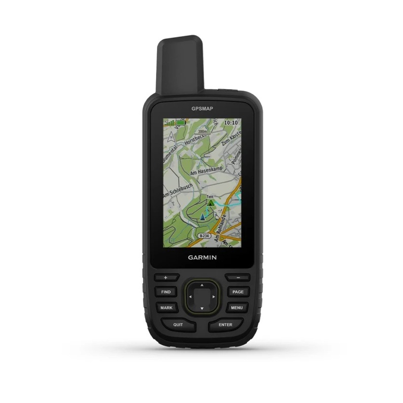


Garmin GPSMAP 67
- Dimensions (cm): 6.2 x 16.3 x 3.5
- Screen size (cm): 3.8 x 6.3
- Screen density (pixels): 240 x 400
- Battery type: rechargeable, lithium-ion
PRODUCT INFORMATION
- Dimensions (cm) 6.2 x 16.3 x 3.5
- Screen size (cm) 3.8 x 6.3
- Screen density (pixels) 240 x 400
- Battery type rechargeable, lithium-ion
- Water resistance IPX7
Spend more time exploring the environment with this compact portable device. Get long battery life and support for multi-layer satellite technology to ensure high data accuracy. Also have preloaded active Topo maps and access to satellite imagery.Thanks to the colorful and readable screen in sunlight, do not miss a single detail.Longer battery life. Up to 180 hours in tracking mode and 200 hours in hiking mode.On difficult and impassable routes, focus on the opportunities offered by the latest technologies, having GNSS satellite communication support.Explore the area you are traveling through thanks to the vivid satellite images that are uploaded directly to your navigation device.Watch weather forecasts when the device is connected to a compatible smartphone.The device supports global satellite connections (GPS, GLONASS, Galileo and QZSS), which allows accurate determination of your location in much more difficult conditions than GPS alone.Walk along each route with ABC sensor support, including an altimeter, to get altitude data, a barometer for tracking the weather and a three-axis electronic compass.Download high-quality photorealistic maps directly to your device using Wi-Fi® technology: easily find routes, choose stops and parking lots, create waypoints and much more. Preloaded active maps of Europe Topo show peaks, parks, coastlines, rivers, lakes and geographical points.Subscribe to Outdoor Maps+ and get information about public lands, names of land owners, maps of public territories, BLM boundaries and more.The device is designed in accordance with MIL-STD-810 standards in accordance with the indicators of water resistance, heat resistance and durability. It is even compatible with night vision goggles.Plan, view, and synchronize waypoints, routes, and trajectories using the Garmin Explore app and website. You can even view completed activities when you are still in the field.
